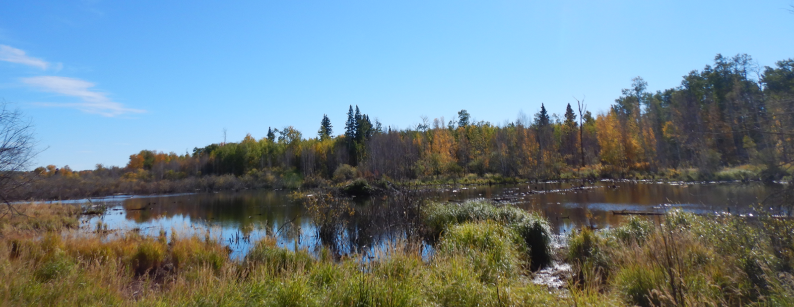
Mapping wetlands to inform the wetland conservation and stewardship pilot project.
Overview
In 2020, the Beaver Hills Biosphere Reserve Association initiating a wetland conservation and stewardship pilot project to explore alternative approaches to wetland conservation and stewardship in a way that supports traditional and current cultural attributes of the Biosphere. To support this work, the Association commissioned two review projects: State of Wetland Policy & Regulation and State of Science Review. A key element of the science review was an evaluation of existing spatial datasets, including an assessment of existing wetland inventories, which is an essential data set for the pilot project.
Objectives
Given that accurate and up-to-date wetland mapping data is essential for improving management outcomes, as well as for identifying wetlands that have been previously impacted and are candidates for restoration, the goal of this project was to create a current wetland inventory for the Biosphere.
Outcomes
An updated wetland inventory has been created for the Biosphere that provides information on the location, class, vegetation cover type, and condition of wetlands. It includes all five wetland class types identified in the Alberta Wetland Classification System, as well as a sixth “Cultivated depression” class that identifies wetland basins that have been impacted by agricultural activities, as well as wetlands that appear to have been hydrologically impacted by drainage or consolidation activities.
The inventory can help inform the design of the wetland conservation and stewardship pilot project by providing relevant information that supports spatial targeting of restoration and enhancement activities, as well as additional spatial analysis regarding wetlands and ecosystem services in the Biosphere.
Project Lead
Beaver Hills Biosphere Reserve Association
Partners
Fiera Biological Consulting
